ARCHAEOLOGCAL ANALISIS AND HERITAGE VALORIZATION OF THREE LANDSCAPES OF THE ROMAN CONQUEST OF HISPANIA (II-I CENTURIES B.C). Sub-project: Southwest of Hispania Ulterior
Project coordinator:Joaquim Pera Isern
Subproject coordinator: Victorino Mayoral Herrera
This coordinated project belongs to the I+D call “Challenges of Research” and its a joint initiative of three research centers: Autonomous University of Barcelona, University of Alicante and CSIC Institute of Archaeology-Mérida). The proposal is grounded on a previous project: “Archaeology of the Roman Conquest. Strategies and models of territorial control in the west of the Provincia Ulterior” (Ref. HAR2012-37003-C03-03) developed from 2013 to 2015.
The final goal of the current initiative corresponds with the challenges nº 6 and 7 of the projetc call: “change and social innnovation”, and “digital economy and society”. The objetive is to transfer to society the results of several years of survey and excavation work of our research teams in tree different regions of former Hispania. We think that the results of this investigation offer a high potential for the cultural and touristic dinamization of rural areas, with the revalorization of a rich archaeological heritage that can become a valuable resource for local development.
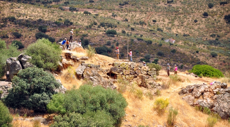
The basis of this research its oriented to obtain a better knowledge of mechanisms adopted by the Roman power for territorial control over different areas of the Iberian Peninsula during the conquest, identifying across the landscape archaeological traces of this process. More specificalyy, our study is focused on the recording of several archaeological sites (towers, fortifications, military camps, castella…) and their surroundings. We are aware of the importance of a broad reading of this phenomenon beyond the narrow limits of the regional scale if we really want to understand the global sense of this historical process in the Iberian Peninsula. Therefore our aim is to perform a comparative analysis of three different geographical areas, according to the administrative demarcation established by the Romans during the Republican period: the North West and East of the Provincia Citerior, and the South-West of the Provincia Ulterior. Each sub-project develops and specific work program adapted to each particular area, while they share related research topics and methodological threads: spatial analysis with the support of geospatial technologies, remote sensing, aerial archaeology, pedestrian and geophysical survey.
Web del proyecto: http://oliba.uoc.edu/UAB/


